
Scaling nature-based solutions for climate resilient infrastructure
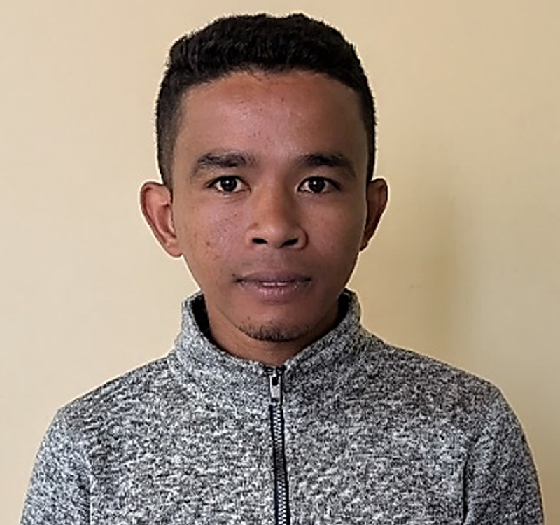
Tokiniaina Fanomezantsoa Andriatahiana
Role: Research assistant, Madagascar
Project: Barriers and enabling factors affecting the implementation and long-term maintenance of green and blue infrastructures in peri-urban areas of Antananarivo, Madagascar
Affiliation: Institute and Observatory of Geophysics of Antananarivo and ESSA Forêts, University of Antananarivo
ORCID ID: N/A
Email: tokiniaina.andriatahiana@gmail.com
Biography:
Tokiniaina Fanomezantsoa Andriatahiana is a geospatial analyst and remote sensing specialist based in Antananarivo, Madagascar. He holds a Masters degree in Earth Physics with a specialisation in GIS, Remote Sensing, and Environmental Geophysics from the Institut et Observatoire de Géophysique d’Antananarivo (IOGA), University of Antananarivo. His academic research focused on the spatio-temporal-spectral fusion of satellite images, applying advanced methods such as STARFM and FSDAF to Landsat and MODIS data using Google Earth Engine and Python.
His professional experience spans spatial data processing, thematic mapping, and applied environmental research. He has contributed to several projects involving water resource management, land-use mapping, and territorial planning across multiple regions of Madagascar. He is proficient in tools including QGIS, ArcGIS, Google Earth Engine, Python, R, and JavaScript.
As a research assistant for the research project on barriers and enabling factors affecting the implementation and long-term maintenance of green and blue infrastructures in peri-urban areas of Antananarivo, he conducted structured field surveys among local communities and institutional stakeholders. He used KoboCollect to collect and manage data on the effectiveness of these infrastructures in reducing hydrological risks such as floods and water pollution. His fieldwork provided key empirical data to support evidence-based environmental planning and sustainable urban development in Madagascar.

